Topographic Design Surveys are prepared through the use of automated field collection and office mapping procedures. Prior to beginning new projects, client layering and point description strategies can be determined. Our software allows for flexible layer naming and point descriptions. Point attributes include a numeric code field (many applications use this for sorting) in addition to a separate alpha-numeric description field. Data can be transferred to or from other applications via DXF, DWG, MicroStation Design Files, standard and user defined ASCII file formats.
Topographic features are field-collected electronically and identified by numeric description codes. As field data is downloaded to our system, points are automatically assigned comprehensive alpha descriptions (to 100 characters), symbols, line types, pen numbers and layers. This procedure is flexible and can be customized to utilize strategies already in place on a client’s system.
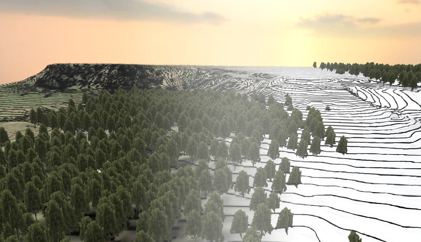
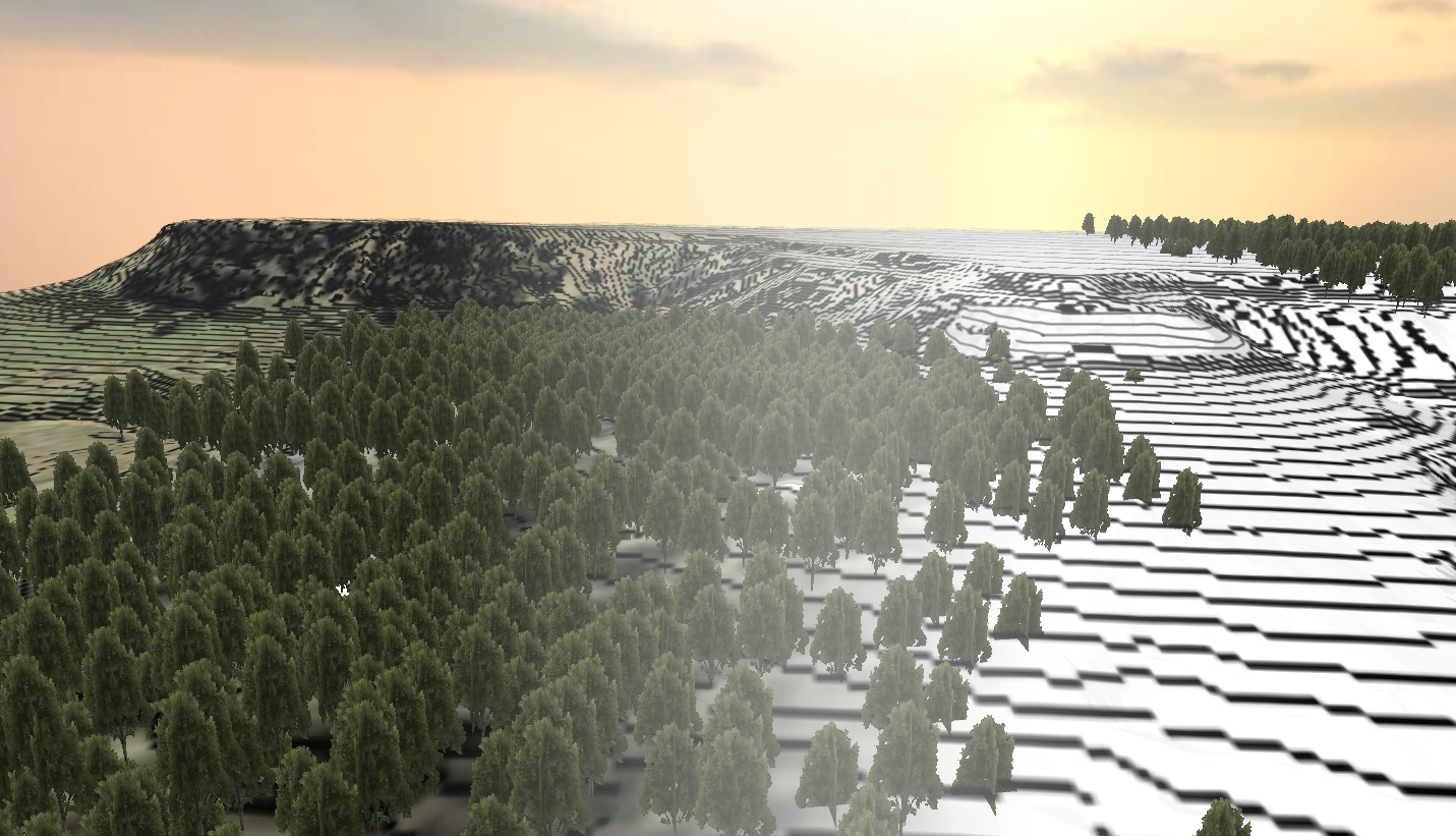
Linework is generated automatically by layer in either sequence of point numbers, by proximity of points or through a user definable “mapping” strategy using feature codes. Points which define vertical “break lines” are automatically connected by lines and sorted to layers. Computer generated digital terrain models and contours follow very quickly. Working drawings are generated quickly and final design base sheets are completed with minimal editing.