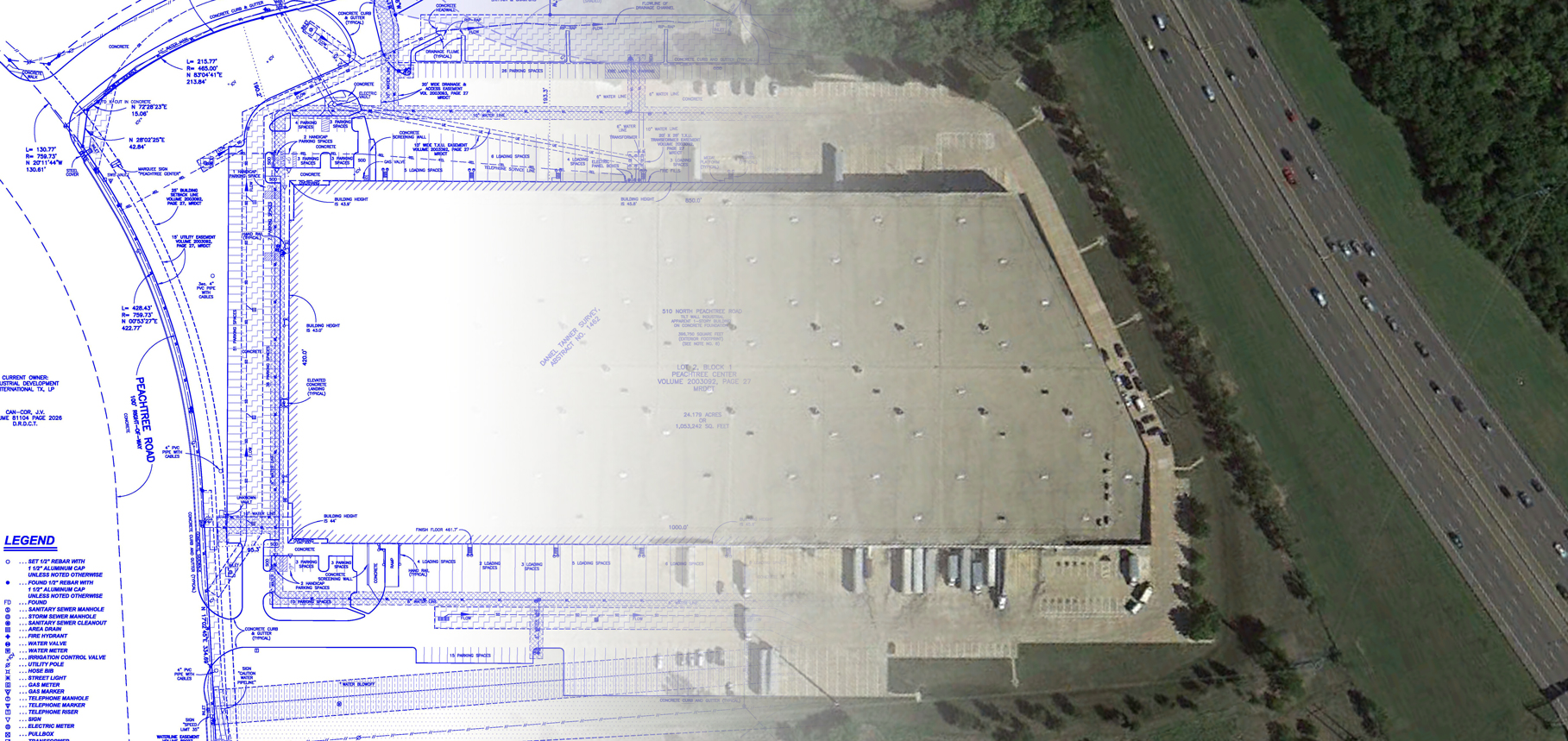
According to the Manual of Practice for Land Surveying in the State of Texas (Category 1A, Section 1, prepared by the Texas Society of Professional Land Surveyors, 2020 edition), a Land Title Survey is defined as follows:
“A Land Title Survey is a comprehensive investigation and evaluation of significant factors affecting and influencing boundary locations, ownership lines, rights of way and easements within or immediately surrounding a certain lot, parcel or quantity of real estate. This survey locates, determines, or re-establishes on the ground the perimeter, division lines, or boundaries and area of the certain lot, parcel or quantity of real estate. A Land Title Survey differs from a traditional or standard property survey in that the Land Title Survey is for title insuring purpose and therefore must include greater detail not normally gathered in the traditional or standard property survey. The practice of locating land boundaries requires the services of a Registered Professional Land Surveyor well versed in the science and art of boundary law and the mechanics of measuring and computing values pertaining to such surveys.”
MLAI has successfully completed many ALTA/NSPS Land Title Surveys for the development of commercial, retail, and industrial projects. A complete list of ALTA/NSPS Land Title Survey specifications and instructions can be viewed or downloaded from the ALTA/NSPS website.
MLAI’s experienced Professional Land Surveyors licensed to practice in Texas combined with automated field and office mapping procedures provide consistently reliable survey data. To further assure the reliability of surveying services, projects prepared by MLAI are insured with a Land Surveyors Professional Liability Insurance Policy.
