MLAI collects its aerial data though Photogrammetric and/or LIDAR technologies. All pilots at MLAI are FAA licensed, and all flights are performed in accordance with FAA regulations under Section 107 to Title 14 Code of Federal Regulations (14 CFR). Below are a few of the aerial services the firm offers:
Construction Site Monitoring Orthomosaic Imagery
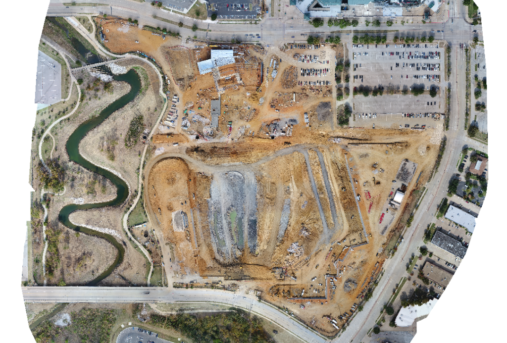
Orthomosaic Imagery collects a wide variety of aerial data and tracks progress with high-definition aerial views. This allows clients to monitor sites quickly, easily, and efficiently with high-resolution images and maps processed from drone-collected images and data. A view of the entire site allows for monitoring and reporting of project progress. Orthomosaic Imagery can also be used to satisfy Land Title Survey requirements by showing the location of certain features where ground measurements are not otherwise necessary.
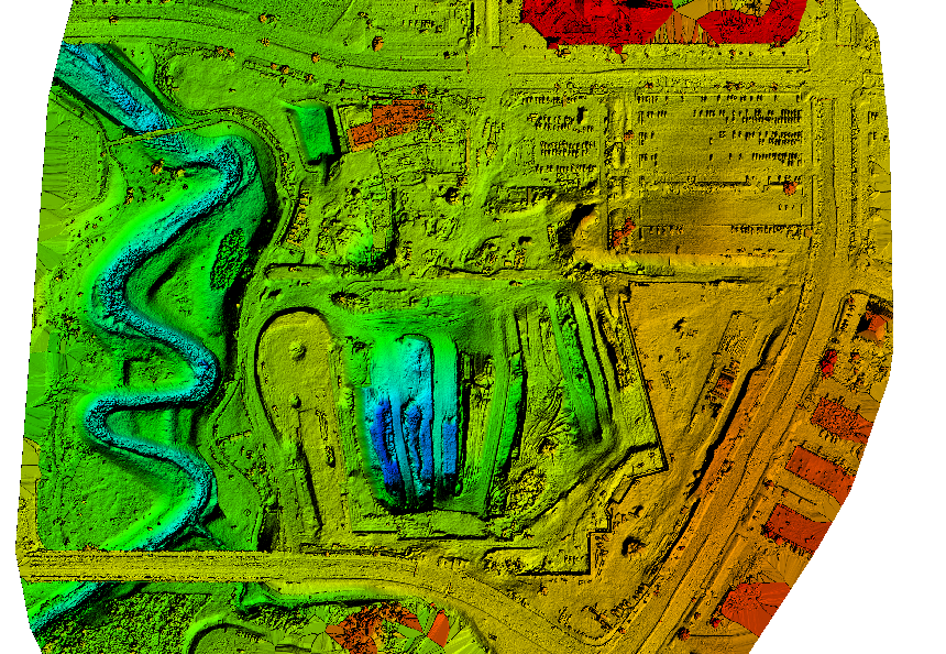
Digital Surface Models
Digital Surface Models show a colored elevation model of a property. Elevation data is verified with traditional survey equipment including robotic total stations and GPS. Topographic survey contours can also be generated from the Digital Surface Models.