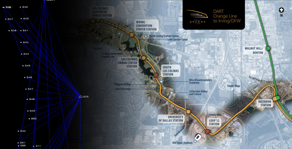
MLAI develops and maintains control networks for variety of engineering, design, and construction projects. By maintaining the latest robotics, global positioning systems (GPS), and terrestrial/aerial LIDAR photogrammetry, the firm is able to layout, reference, and build reliable control networks. Examples of the types of control networks the firm regularly develops/maintains are listed below:
Municipal Geographic Information System (GIS) Control Networks
In a coordinated effort with municipal GIS departments, MLAI can design and build a durable horizontal and vertical ground control network. Initially, the ground control network can be utilized for aerial photography and topography. The network becomes a framework for all new engineering and surveying projects. Future land development design is then relative to a single horizontal and vertical datum. Many cities now have established physical GIS ground control networks. Frequently, GIS ground control monuments are no longer inter-visible or have been destroyed by construction and the same is true for vertical control (benchmark) networks. MLAI can densify, map, and provide data analysis of existing control networks. Once a physical GIS ground control network is established, city staff or our field crews can collect.
Construction Site and Phased Development Control Networks
MLAI also provides control networks for phased, large-scale engineering, design, and construction projects. Control networks can be developed to satisfy the needs of a construction company’s internal engineering department. We have extensive experience calculating and setting structural building control for unusually large and/or complex building designs. Construction companies also utilize our field control, data analysis, and mapped reports to satisfy project specifications or as verification of control set by other firms.
Aerial Photogrammetry Ground Control Networks
MLAI utilizes a combination of GPS and robotic total stations to construct horizontal and vertical control networks for aerial photography. Aerial target specifications and locations are coordinated with the photogrammetrist. Horizontal and vertical values of aerial targets are provided to photogrammetric companies in a variety of digital formats. Random cross section check shots taken on the ground at the time of control are then used to evaluate contour mapping developed by the photogrammetrist.
Monitoring Control Networks
MLAI implements strategies to monitor critical structures by providing mapping and reports depicting quantities for excavation projects or movement of dams, levees, retaining walls, foundations, and other manmade or natural features.
