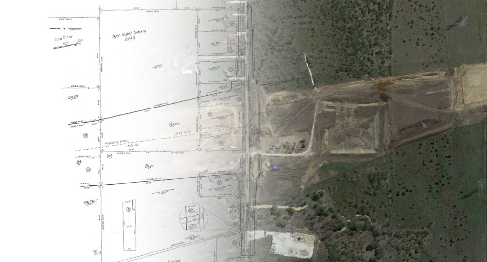
Right-of-Way, or Route Surveys, are made to plan, design, and construct:
- Highways
- Railroads
- Municipal Utility Mains
- Linear Parks and Greenbelt Projects
- Transmission Lines
MLAI utilizes a combination of robotics, global positioning systems (GPS), and terrestrial/aerial LIDAR photogrammetry to develop control networks. Topographic design surveys are prepared through the use of automated field collection and office mapping procedures. MLAI coordinates services with municipal staff, attorneys, engineers, and appraisers during acquisition. MLAI’s Professional Land Surveyors reconstruct existing boundaries and compute new right-of-way alignments, prepare legal descriptions, right-of-way strip maps, and individual “take” parcel maps. This information is available to municipalities and design consultants in a variety of digital formats.
