At MLA, we utilize today’s most productive surveying technology and have developed automated procedures for use in our everyday work. The results are cost-efficient services completed in less time with reduced opportunity of human error. Our experience and use of current technology allows us to consistently outperform our competition. Our current technology resources include:
Cooperative GPS networks
Enterprise Level Unmanned Aerial Photogrammetry
Enterprise Level Unmanned LIDAR
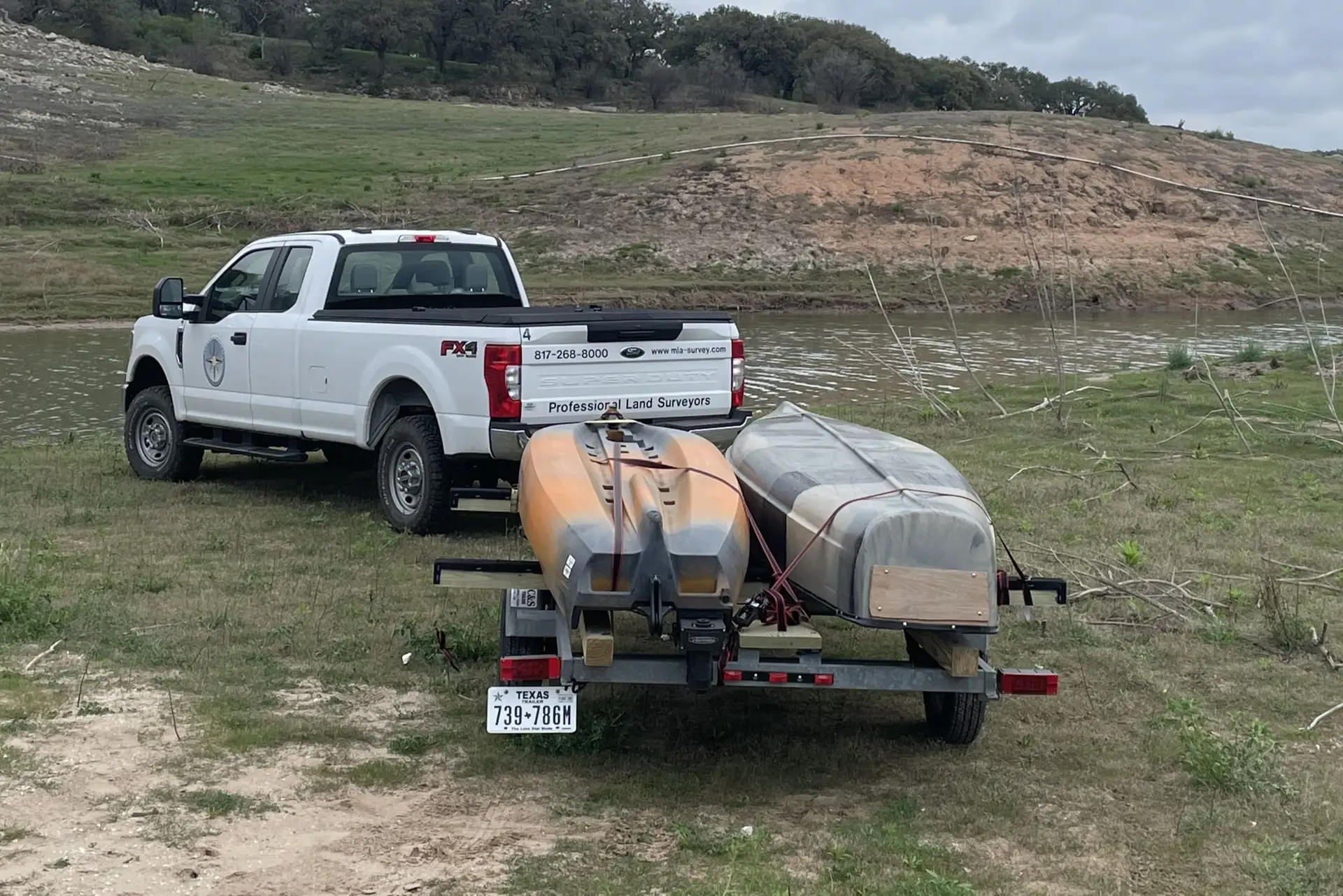
Hydrographic Systems
Terrestrial Scanning
Robotic Total Stations
Interactive Graphic Mapping and Terrain Modeling Software
High-Performance Point Cloud Processing Workstations