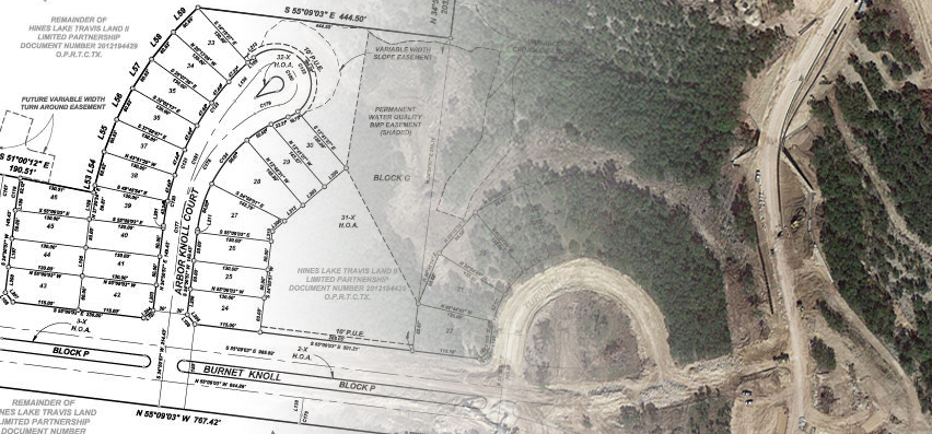
In the State of Texas, subdivision of real property is regulated generally on a state level and specifically on a local level. Within a one hour drive radius of the Dallas-Fort Worth International Airport, there are more than 90 different municipal jurisdictions, each having different and continuously changing rules, regulations, and staff. MLAI maintains a database of contacts and a library of subdivision, zoning, and platting regulations. In addition to experience, a dedication to excellence, and an internal municipal database, MLAI recognizes that in order to provide successful subdivision mapping services, a Professional Land Surveying Firm must effectively:
- Communicate with a multitude of continuously changing municipal staff members
- Research, understand, and meet municipality mapping standards
- Produce accurate, presentation-quality mapping
- Meet client and municipal deadlines